MapQuest has decided the best way to stay relevant in 2026 is to help you spy on the spies. The company announced a Surveillance Layer for its mobile app on Oct. 15, and it maps out reported camera and license plate reader locations. It is the latest move in a comeback that started in late August, when MapQuest declined to follow Google Maps and Apple Maps in relabeling Lake Ontario and shot to the top of the App Store. Is this the same app that once had me printing directions to a Dairy Queen off a home printer in 2003? Yes. Yes, it is.
Eye Spy With My Little Map
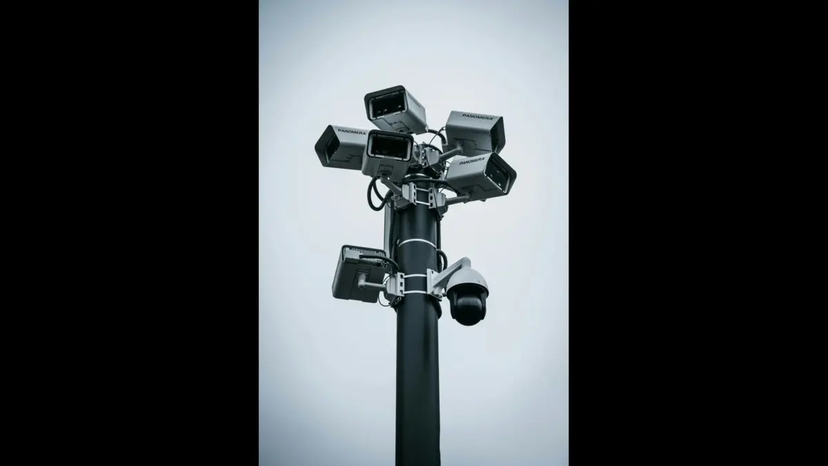
The feature pulls in locations tied to Flock Safety and 10 other named companies. Motorola Solutions (Vigilant), Genetec, Axis Communications, Axon, Leonardo (ELSAG), Neology, Rekor, PlateSmart, Ubicquia and Verkada all show up in the mix. MapQuest also tosses in “other outdoor surveillance cameras,” a category it has not bothered to define.
So when you see one of those little eye markers, it might be a license plate reader, or it might be a regular camera. Where the data allows, a red cone shows which way the camera points, but the map does not always spell out exactly what you are looking at. Either way, a mystery box of surveillance. Very fun for the whole family.
Crowdsourcing Is Doing a Lot of Heavy Lifting
MapQuest has not disclosed where the data comes from. Gizmodo and other outlets note that it looks a whole lot like what DeFlock, a volunteer camera-mapping project, logs in OpenStreetMap, the map wiki that geography nerds treat like a sacred text.
If that is the source, it matters, because it means the layer shows what contributors bothered to log. If your neighbor Gary never typed in the camera at the end of your street, congratulations, it does not exist. At least not on MapQuest. Gary, buddy, get with the program.
Why This Tool Landed Right Now
Crowdsourced Flock maps have blown up over the past year as communities push back against surveillance tech. That pushback has made it all the way to Capitol Hill. On Sept. 23, the Senate Judiciary Subcommittee on Crime and Counterterrorism held a hearing titled “Always Watching: Flock’s Nationwide AI Surveillance Network.” The CEOs of Flock, Axon, Motorola Solutions and Verkada were invited. None of them showed up.
Some of the scrutiny comes from police officers misusing these systems. A Washington Post investigation counted at least 50 officers accused of or charged with misusing license plate readers, most of them on Flock’s network, and about half of those cases involved officers tracking spouses, partners or exes. So yeah, the demand for this tool is real, and the reasons are not exactly cheerful.
MapQuest Steps Into a Strange New Role
MapQuest debuted in 1996. It built its name on being the first place you went for directions before your phone got smart. Now it wants to be your surveillance lookout. That is a pivot. I respect the hustle. I also think it is a little funny that the site we all used to print paper directions from is now the one telling you where the cameras are. Full circle. Weird circle.
How to Actually Use the Thing
Download the app, or update it if you already have it. The layer lives in the iOS and Android apps, not the website. Tap the layers icon in the bottom right corner. Toggle on Surveillance. Look for the eye symbols. That is it. Three taps and you are on your way to knowing which intersections have watchers. It works alongside the normal navigation stuff, so you can plan a route and check for cameras at the same time. Efficiency. Love it.
What the Map Simply Cannot Do
This is not a live feed. No video. No streaming. No confirmation that a marked camera is even turned on right now. The marker could be a camera that got removed in 2024. The marker could be a camera that never existed because someone on a crowdsourced database got bored. It is a map of reported locations, not a crystal ball. Manage your expectations accordingly.
My Take, Since You Asked
I love this feature, and I hate that I love it. My bias, and I am sticking with it, is simple: transparency is good, actually, and MapQuest stumbled into the most useful thing it has done in two decades.
Yes, the data is messy. Yes, it is incomplete. Yes, the eye icons look like something a middle schooler designed in art class. Still. Knowing where the cameras supposedly are beats not knowing. I would rather have a flawed map than no map at all. That is my position. It will not change.
The Thing That Bugs Me
MapQuest has not said how often the data refreshes. That is a problem. If the layer updates once a quarter, you are basically using a history textbook to navigate a live city. Also, no word on whether more camera companies will get added.
The list could grow, or it could sit right where it is. Nobody knows. The company is being quiet about the details, which is exactly the kind of energy that makes people nervous about surveillance in the first place. Kind of ironic.
A Cultural Detour Because I Can
Remember when everyone was glued to “Tiger King,” the 2020 Netflix docuseries about Joe Exotic, Carole Baskin and a murder-for-hire plot tangled up in the big cat trade? The whole appeal was watching people believe a story that fell apart the longer you looked at it. That is this map.
The longer you stare at the eye icons, the more questions you have. Who put this here? When? Is it accurate? Did anyone check? The appeal is the paranoia. The appeal is also the honesty. A tool that admits what it does not know is more trustworthy than one that pretends to know everything.
The Bottom Line on All This
Download it, toggle it on, look at the eyes. Then remember that the eyes are just markers on a map made by strangers on the internet. MapQuest gave us a surveillance map and a lesson in humility at the same time. The feature is available now for anyone with the app. Gary is still not logging cameras. Gary needs to step up.
More Tech news from Total Apex Entertainment.
 Don't stop here
Every Score. Every Story. One Home.
Breaking sports, entertainment and news from across the Total Apex network, updated all day.
Get the Full Story →